


Le Canvas Atelier
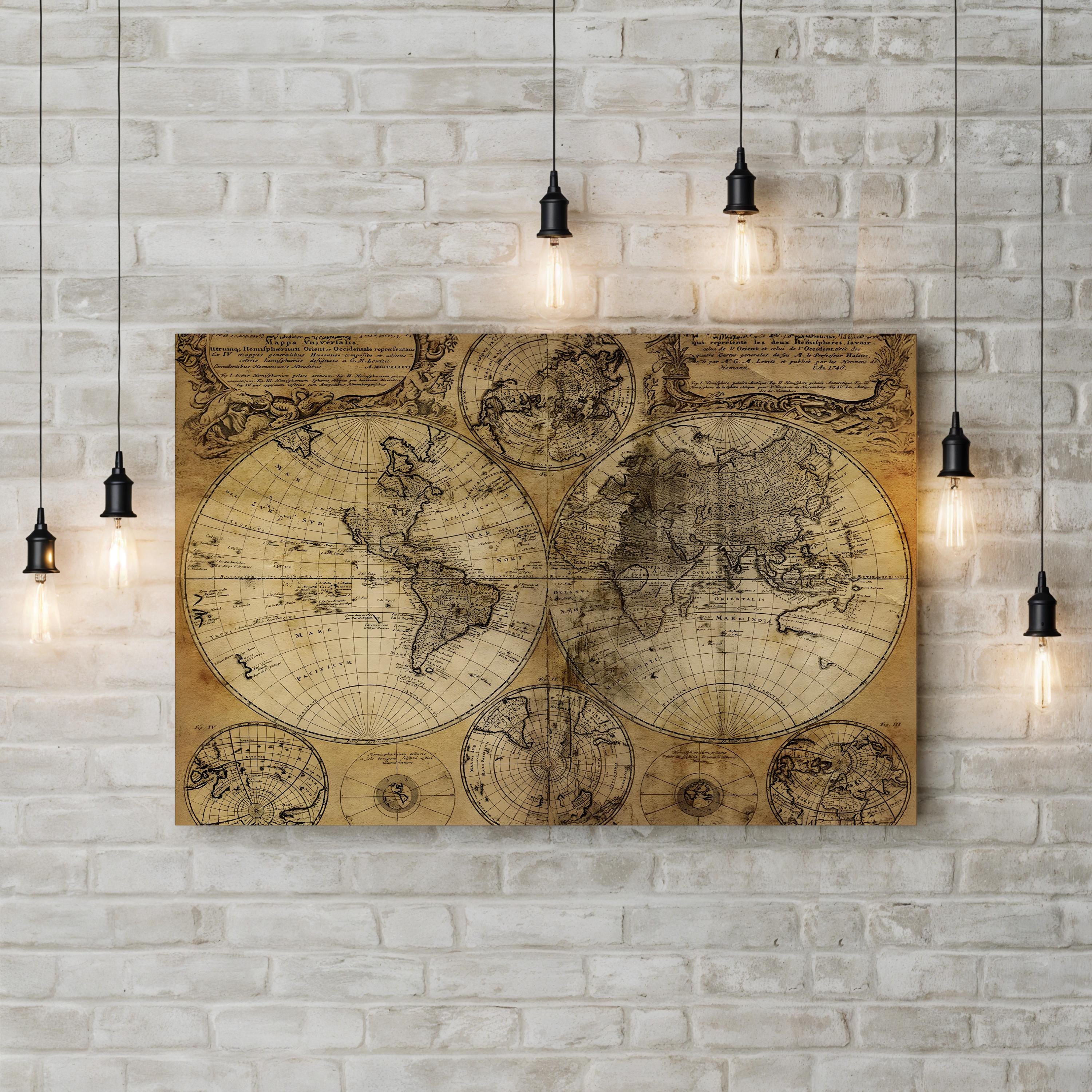
Mappa Universalis World Map, c. 1746 by Homann Heirs
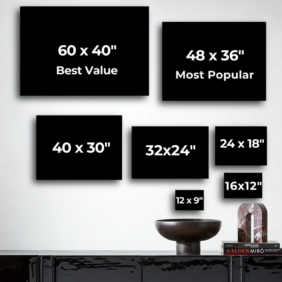
Size:12x9"
Frame Style:Standard 0.75"
Choose options
Size:12x9"
Frame Style:Standard 0.75"
Size:12x9"
Frame Style:Standard 0.75"
Mappa Universalis World Map, c. 1746 by Homann Heirs presents the world in two hemispheres flanked by smaller polar and axial projections, compiled from Johann Matthias Hase’s geographic scholarship with astronomical observations by Georg Moritz Lowitz. Published by the Homann Heirs of Nuremberg, the map reflects the mid-eighteenth-century state of world geography, including a still-uncharted northwestern America and a tentative outline of Australia.
Artist: Homann Heirs (Nuremberg, Germany), compiled by Johann Matthias Hase. Date: c. 1746.
Mappa Universalis World Map, c. 1746 by Homann Heirs. Historic German Cartography Canvas Print.