


Le Canvas Atelier
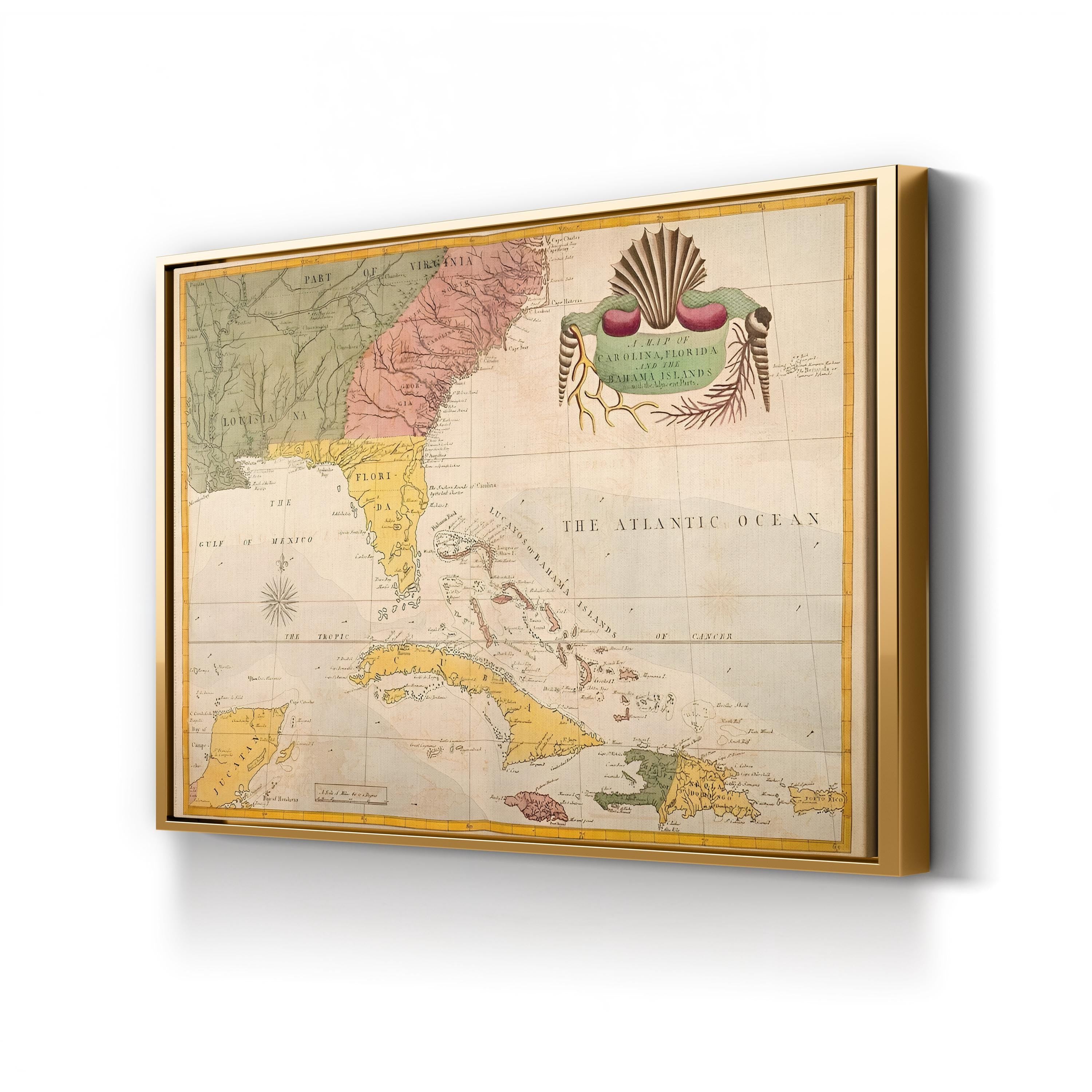
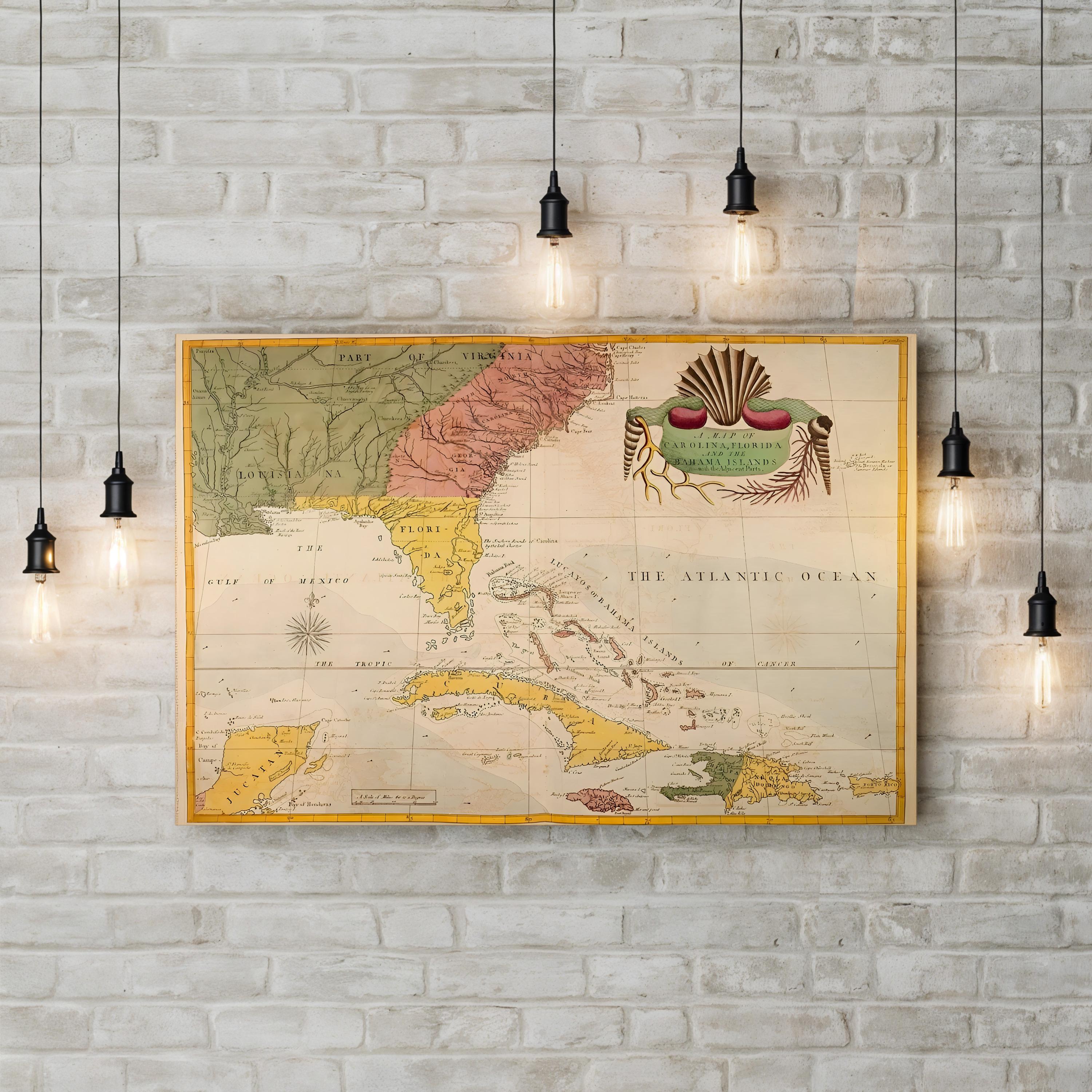
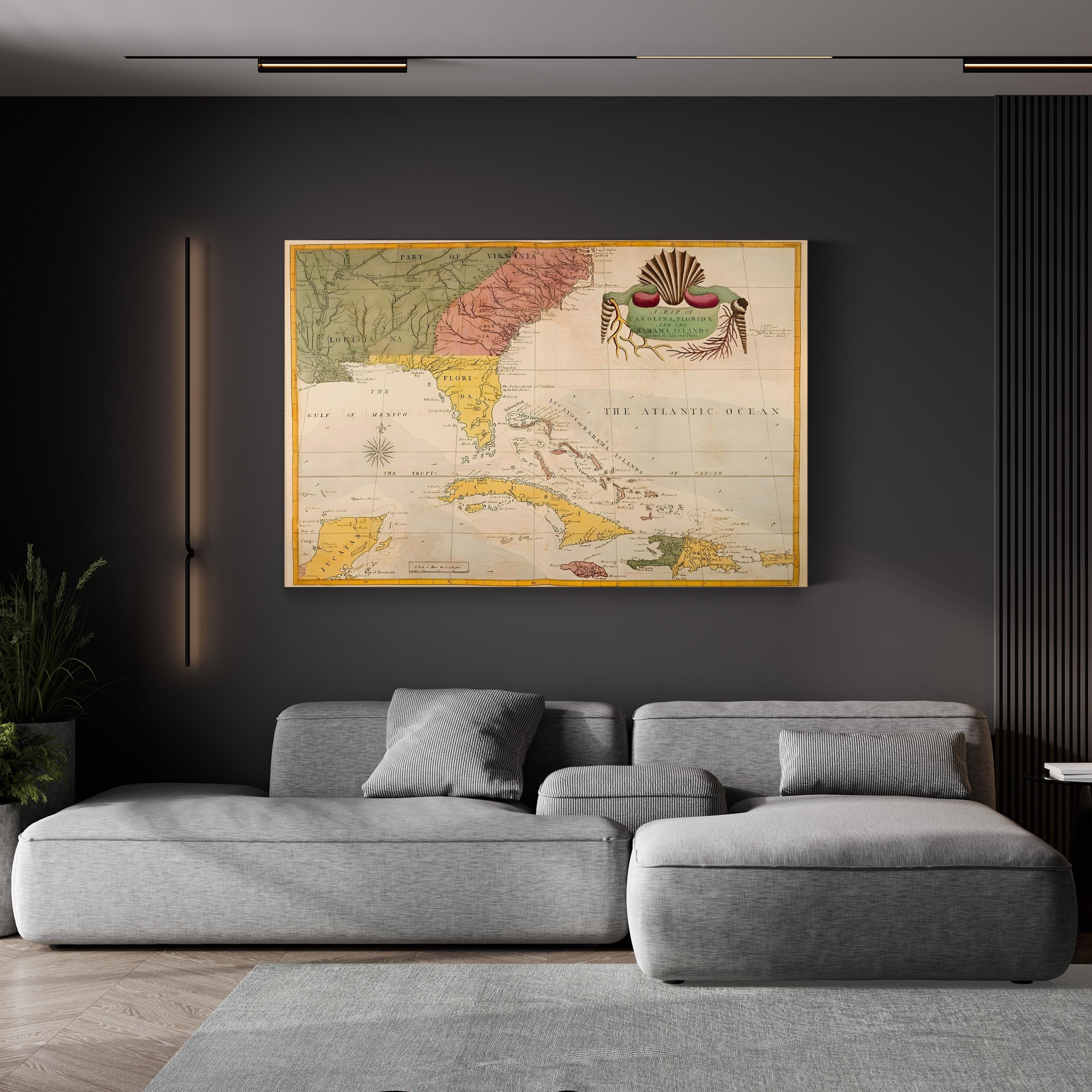
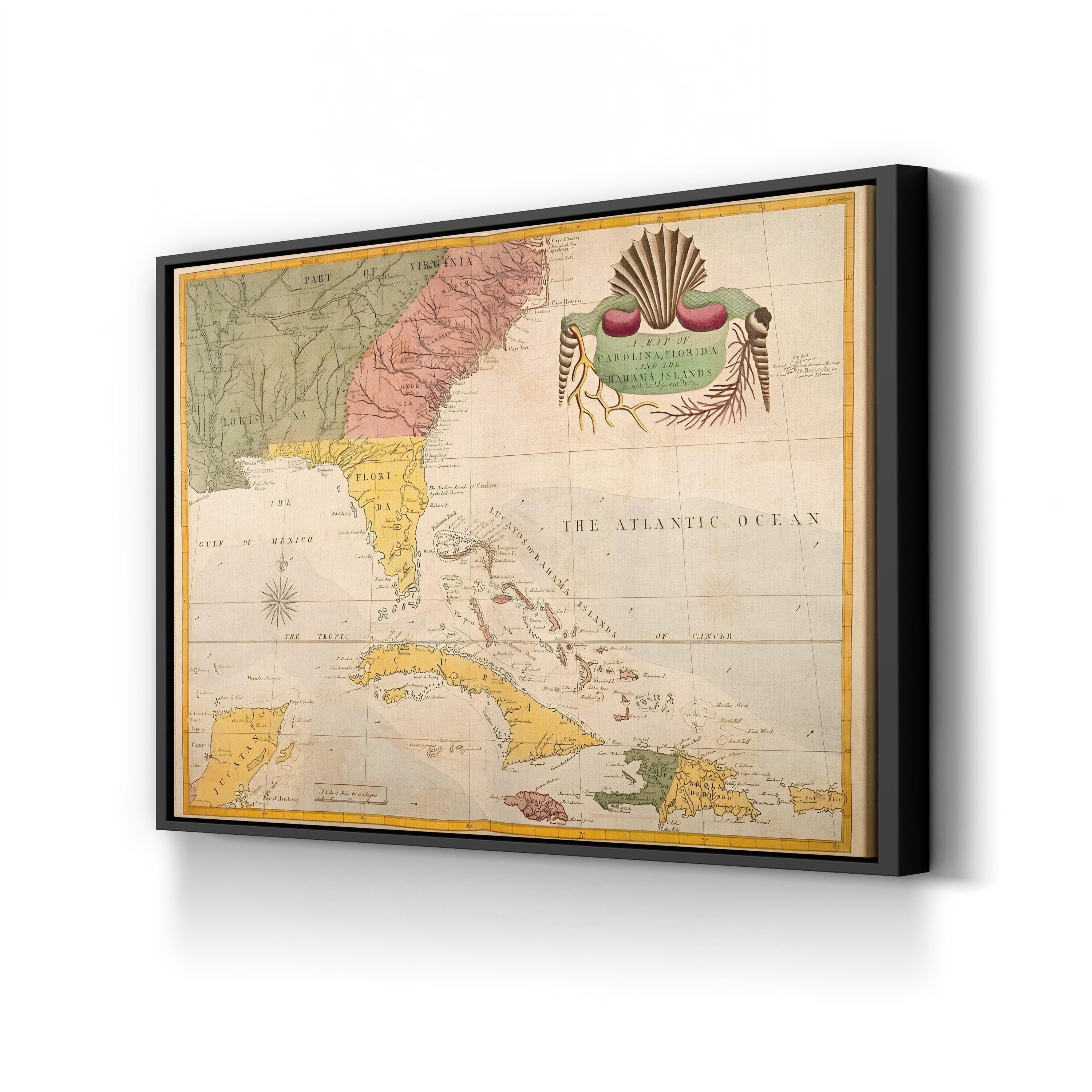
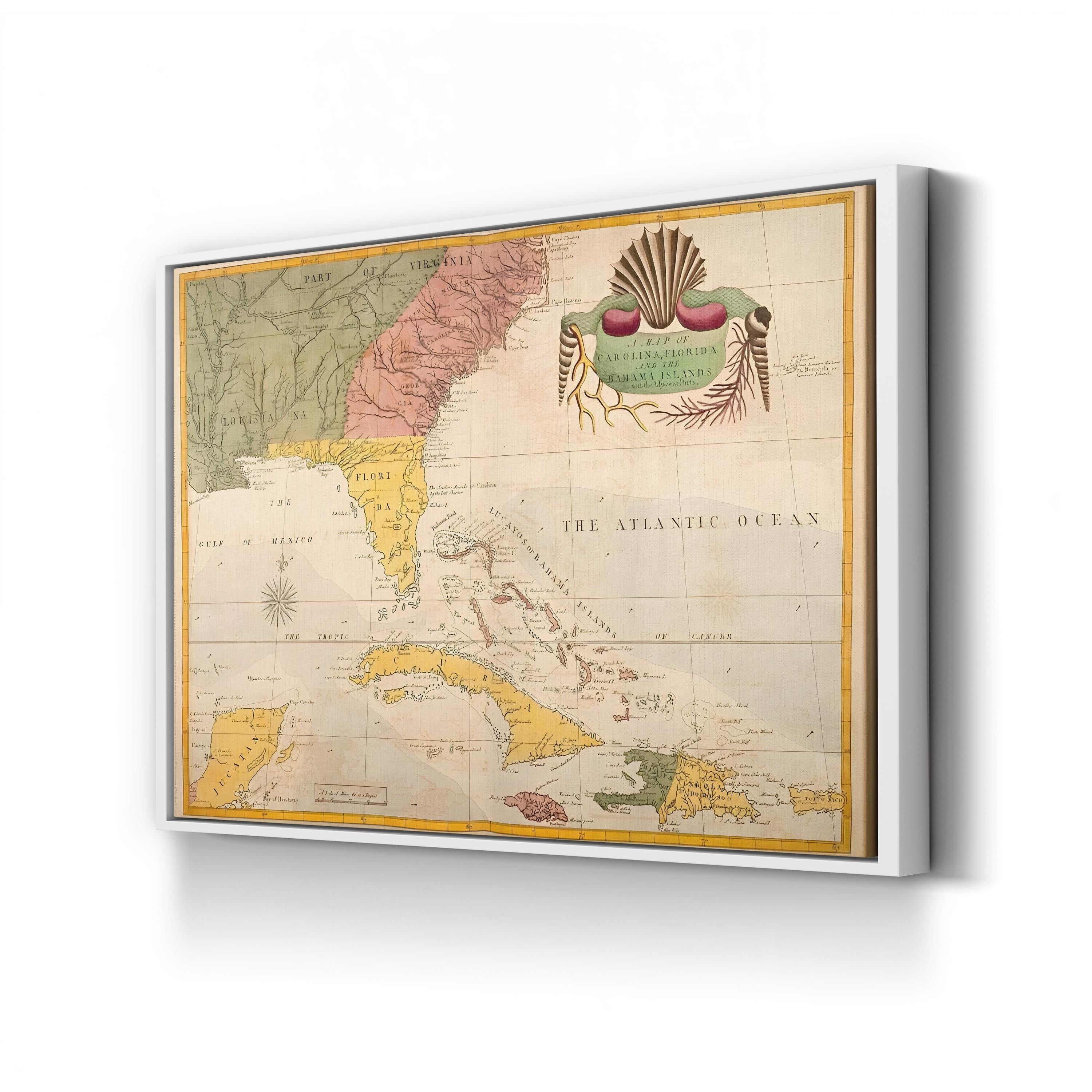
Carolina, Florida & Bahama Islands Map, c. 1743 by Mark Catesby
Frame Style:Gallery Canvas 1.50"
Size:12x9"
Choose options
Frame Style:Gallery Canvas 1.50"
Size:12x9"
Frame Style:Gallery Canvas 1.50"
Size:12x9"
Carolina, Florida & Bahama Islands Map, c. 1743 by Mark Catesby charts the American Southeast and Caribbean in fine engraved detail, spanning the Carolinas and Georgia south through Florida to Cuba, Hispaniola, and the Bahama Islands, framed by an ornamental cartouche of shells, coral, and seaweed drawn from the naturalist's own studies. Catesby was an English naturalist whose Natural History of Carolina, Florida and the Bahama Islands was the first illustrated survey of American flora and fauna, and this map served as its geographic companion piece.
Artist: Mark Catesby (English, 1683-1749). Date: c. 1743.
Carolina, Florida & Bahama Islands Map, c. 1743 by Mark Catesby. Historic Colonial Cartography Canvas Print.