
Vintage Montreal City Map, c. 1895 by Rand McNally and Company canvas print in a white frame
Vintage Montreal City Map, c. 1895 by Rand McNally and Company canvas print in an oak frame
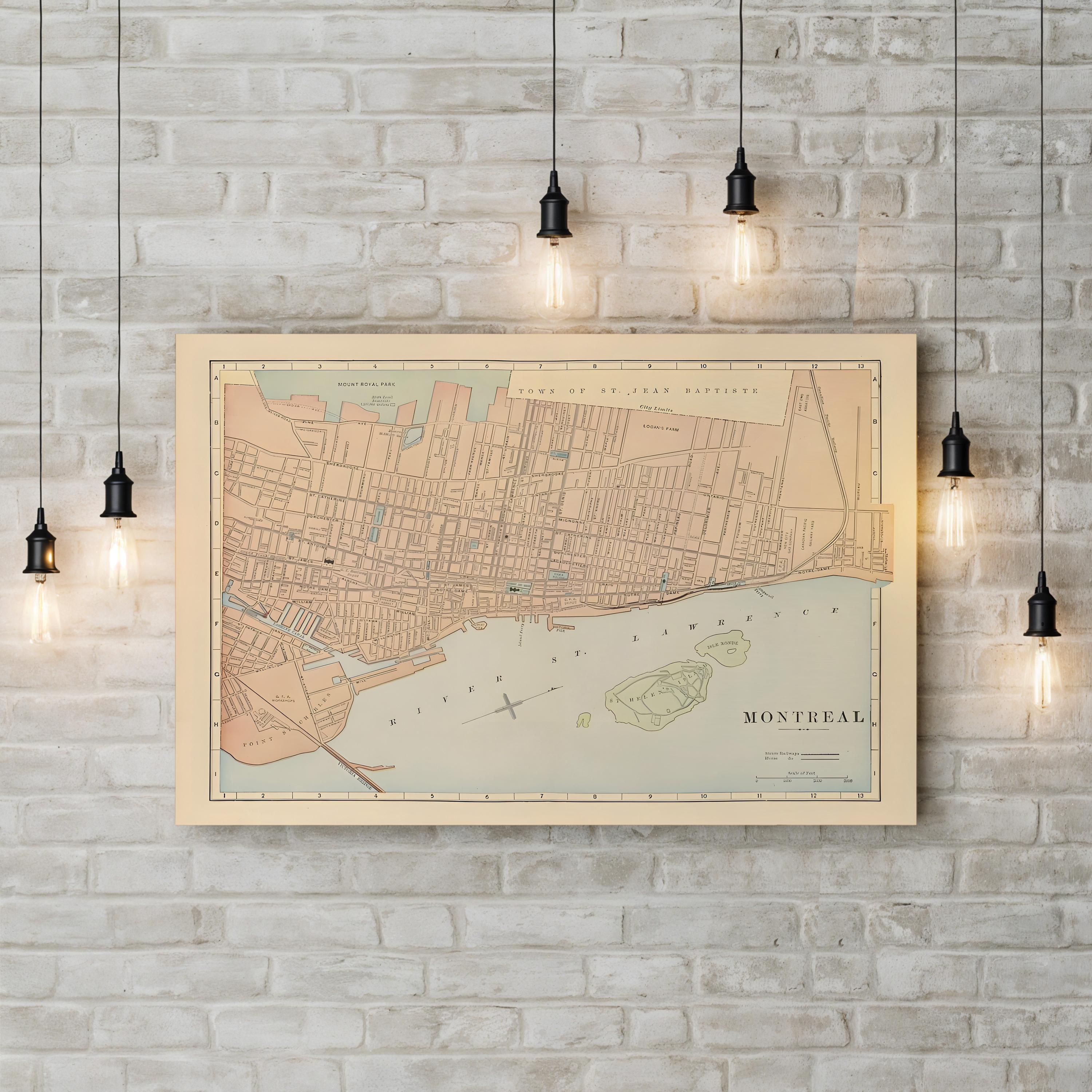
Vintage Montreal City Map, c. 1895 by Rand McNally and Company canvas print displayed on a brick wall
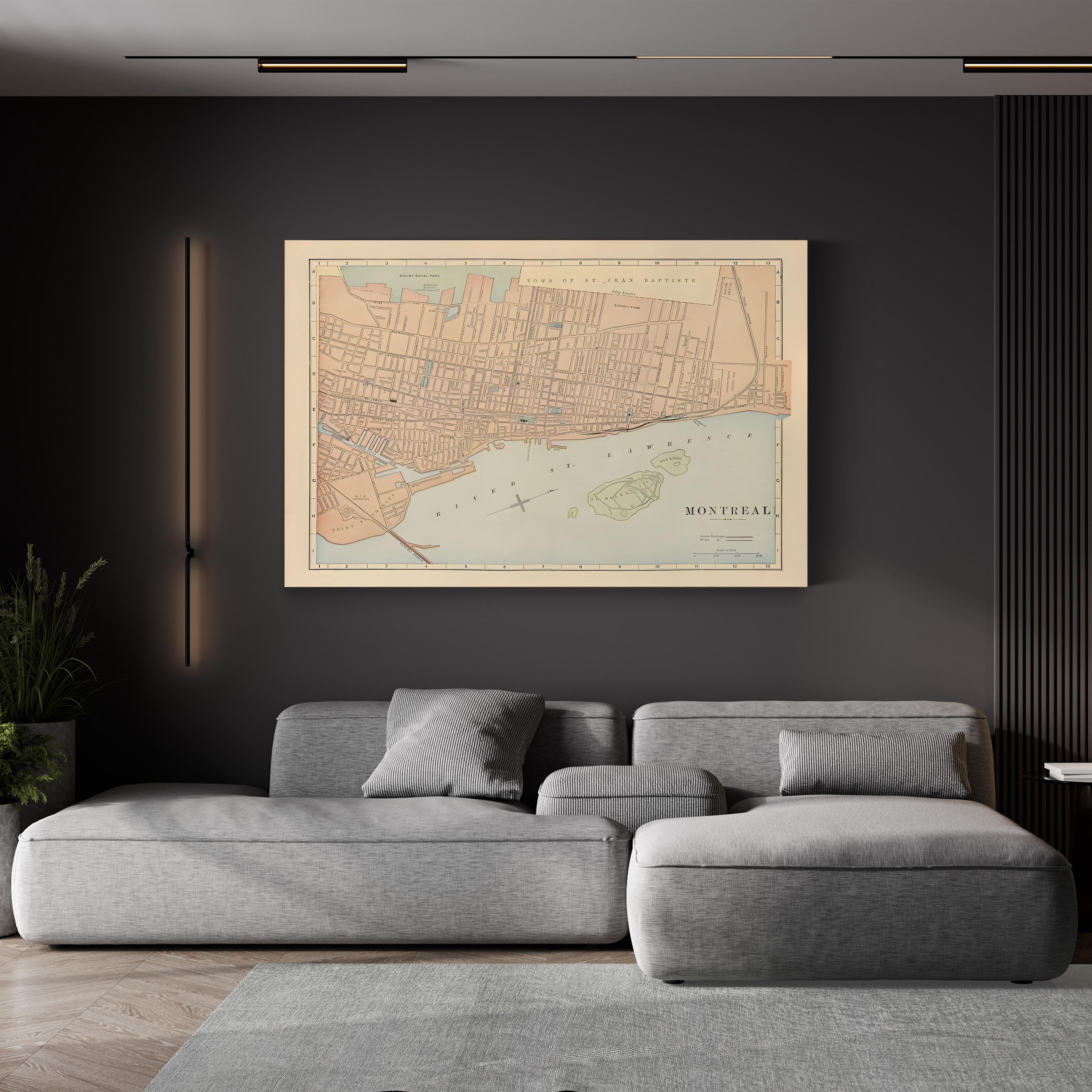
Vintage Montreal City Map, c. 1895 by Rand McNally and Company canvas print displayed in a modern living room
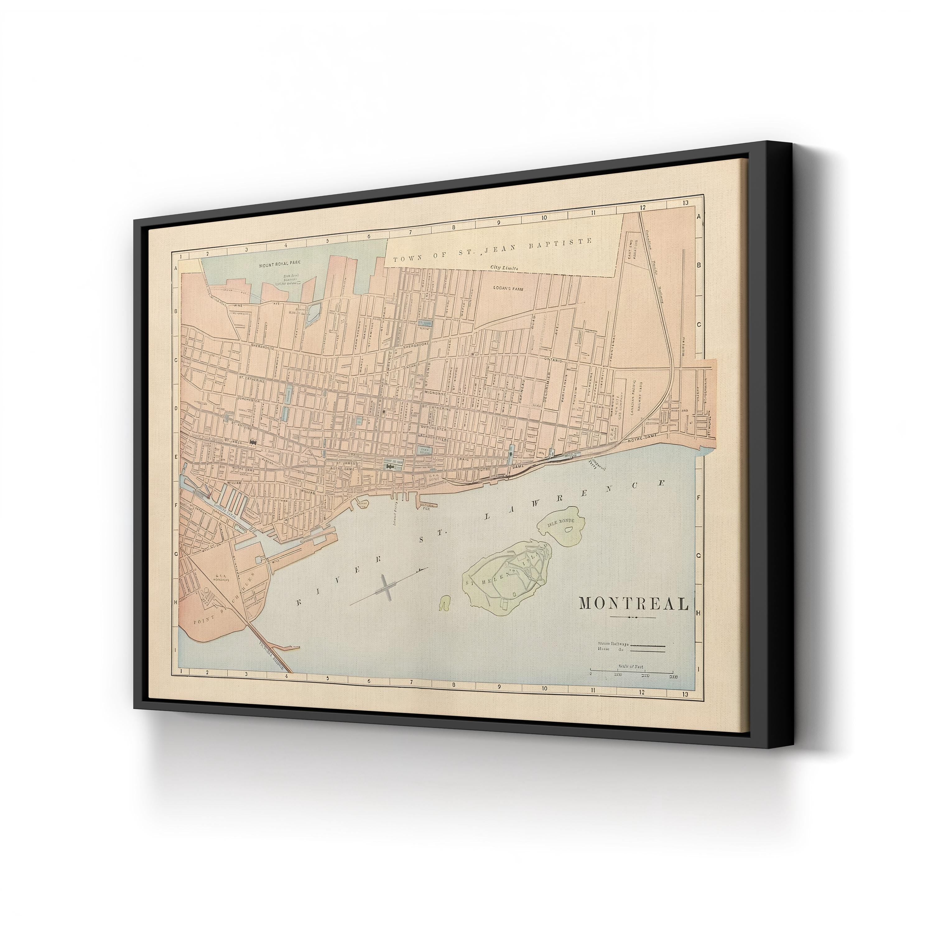
Vintage Montreal City Map, c. 1895 by Rand McNally and Company canvas print in a black frame
Vintage Montreal City Map, c. 1895 by Rand McNally and Company canvas print in a gold frame
Vintage Montreal City Map, c. 1895 by Rand McNally and Company canvas print in a natural wood frame
Canvas sizes available for Vintage Montreal City Map, c. 1895 by Rand McNally and Company

Le Canvas Atelier

Vintage Montreal City Map, c. 1895 by Rand McNally and Company

Sale price$45.99 USD Regular price$113.98 USD
Save 60%
Frame Style:Gallery Canvas 1.50"
Size:12x9"

Vintage Montreal City Map, c. 1895 by Rand McNally and Company captures the streets, districts, and waterfront of Montreal as they appeared in the closing years of the nineteenth century, from Mount Royal Park and the Town of St. Jean Baptiste to the wharves of Point St. Charles and the islands of the St. Lawrence River. Rand McNally and Company built its reputation as America’s foremost commercial cartography publisher, and this plate reflects the meticulous street-level detail and grid referencing that made its atlases the standard for accuracy and clarity in the period.

Artist: Rand McNally and Company (American publishing firm, founded 1856). Date: c. 1895.

Vintage Montreal City Map, c. 1895 by Rand McNally and Company. Historic Canadian Cartography Canvas Print.