







Le Canvas Atelier
Historical Map of Europe
Frame Style:Standard 0.75"
Size:12x9"
Choose options
Frame Style:Standard 0.75"
Size:12x9"
Frame Style:Standard 0.75"
Size:12x9"
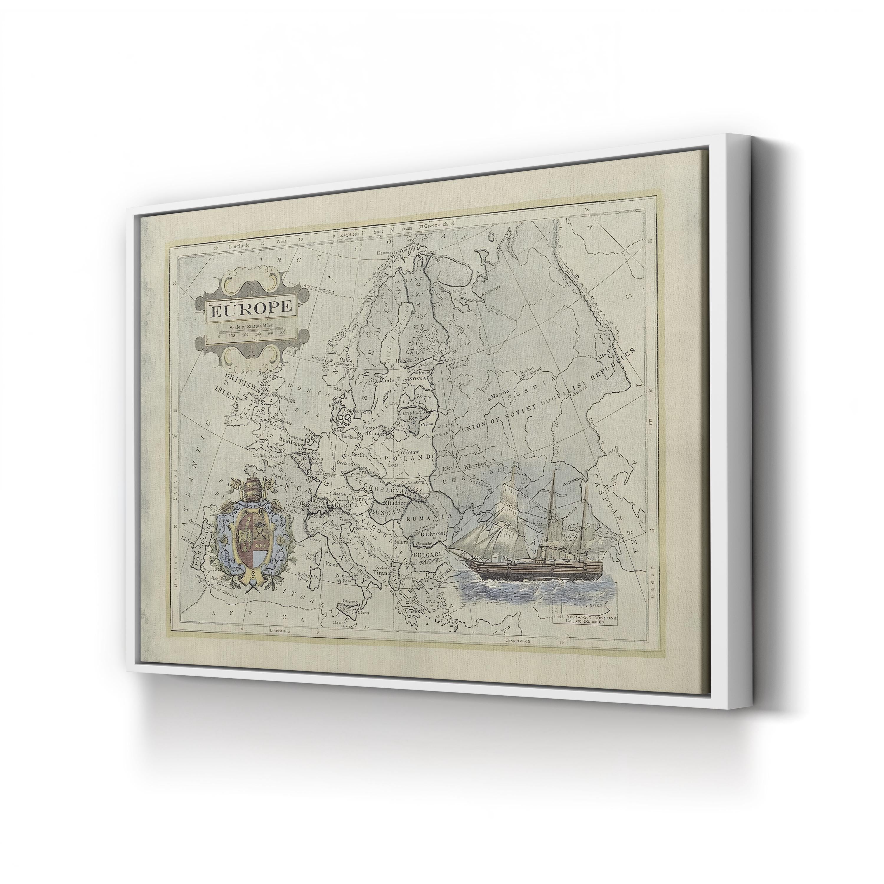
Historical Map of Europe presents the continent as it appeared in a mid-twentieth-century atlas, its borders stretching from the British Isles and Scandinavia in the west to the Union of Soviet Socialist Republics in the east. Countries such as Czechoslovakia, Poland, Hungary, Romania, Yugoslavia, and Bulgaria are labeled across the composition, framed by an ornamental title cartouche, a decorative coat of arms, and a sailing ship vignette beside the map’s scale device.
Historical Map of Europe. Vintage European Cartography Canvas Print.