




Le Canvas Atelier
Blue West Indies Nautical Chart by Samuel Thornton
Choose options
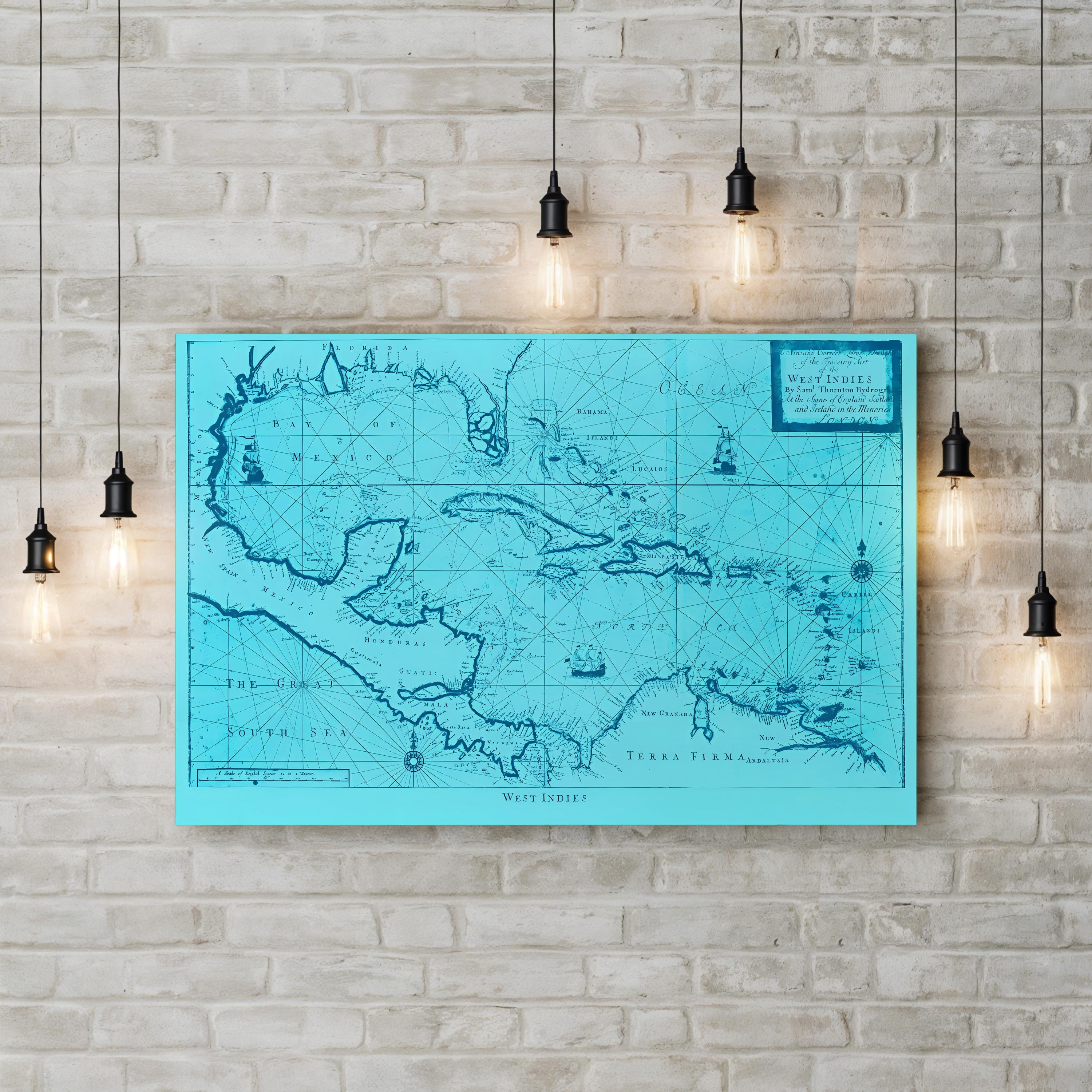
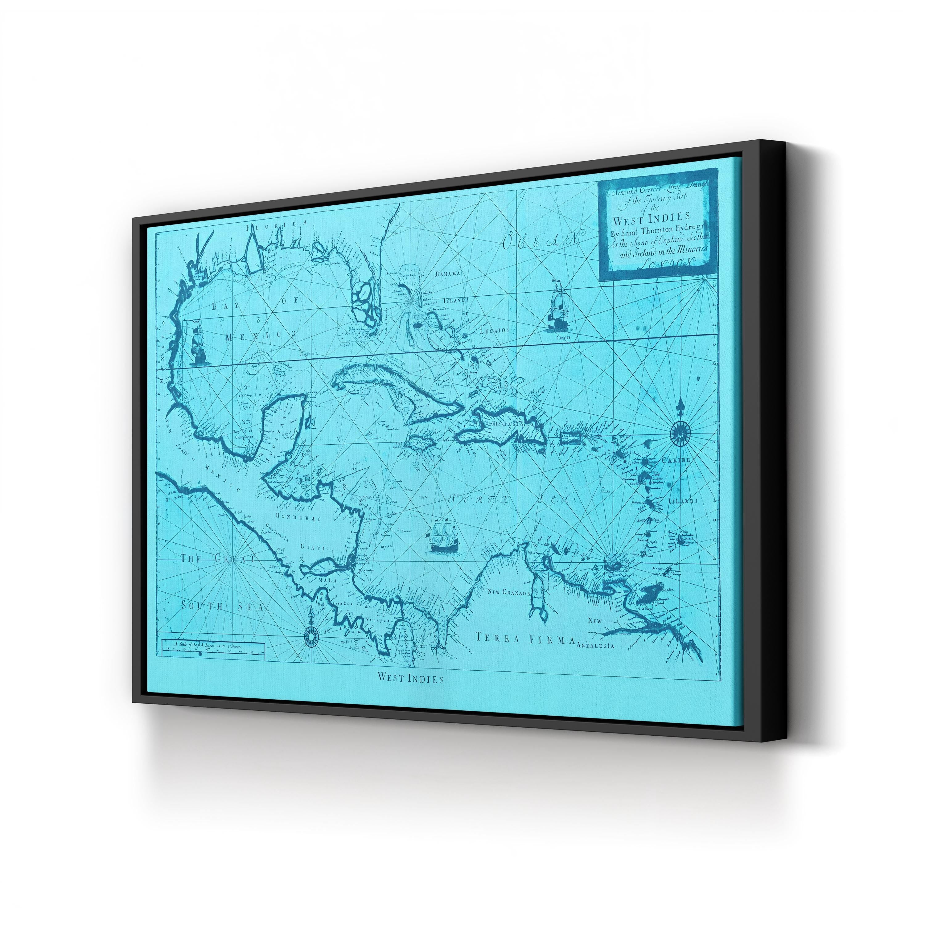
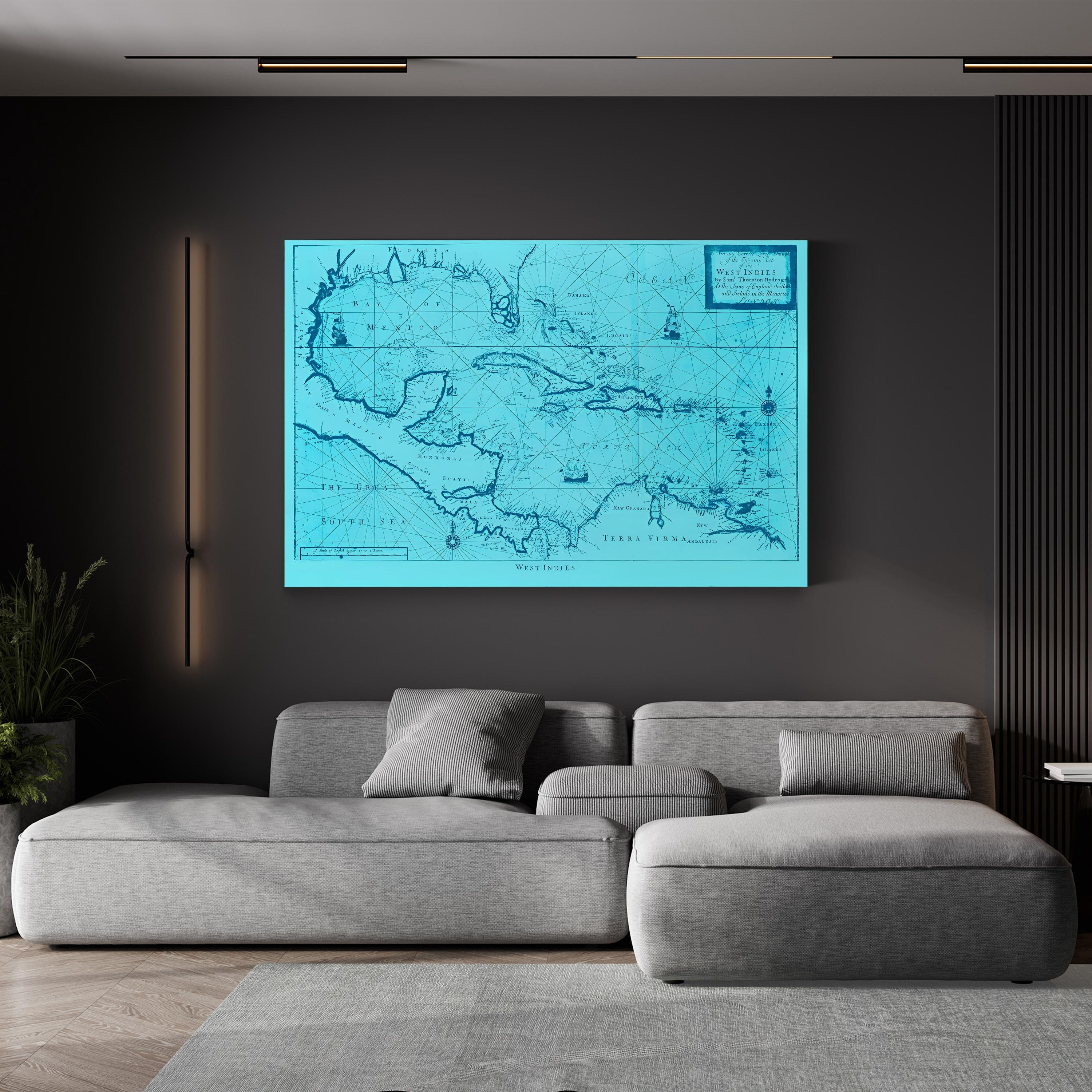
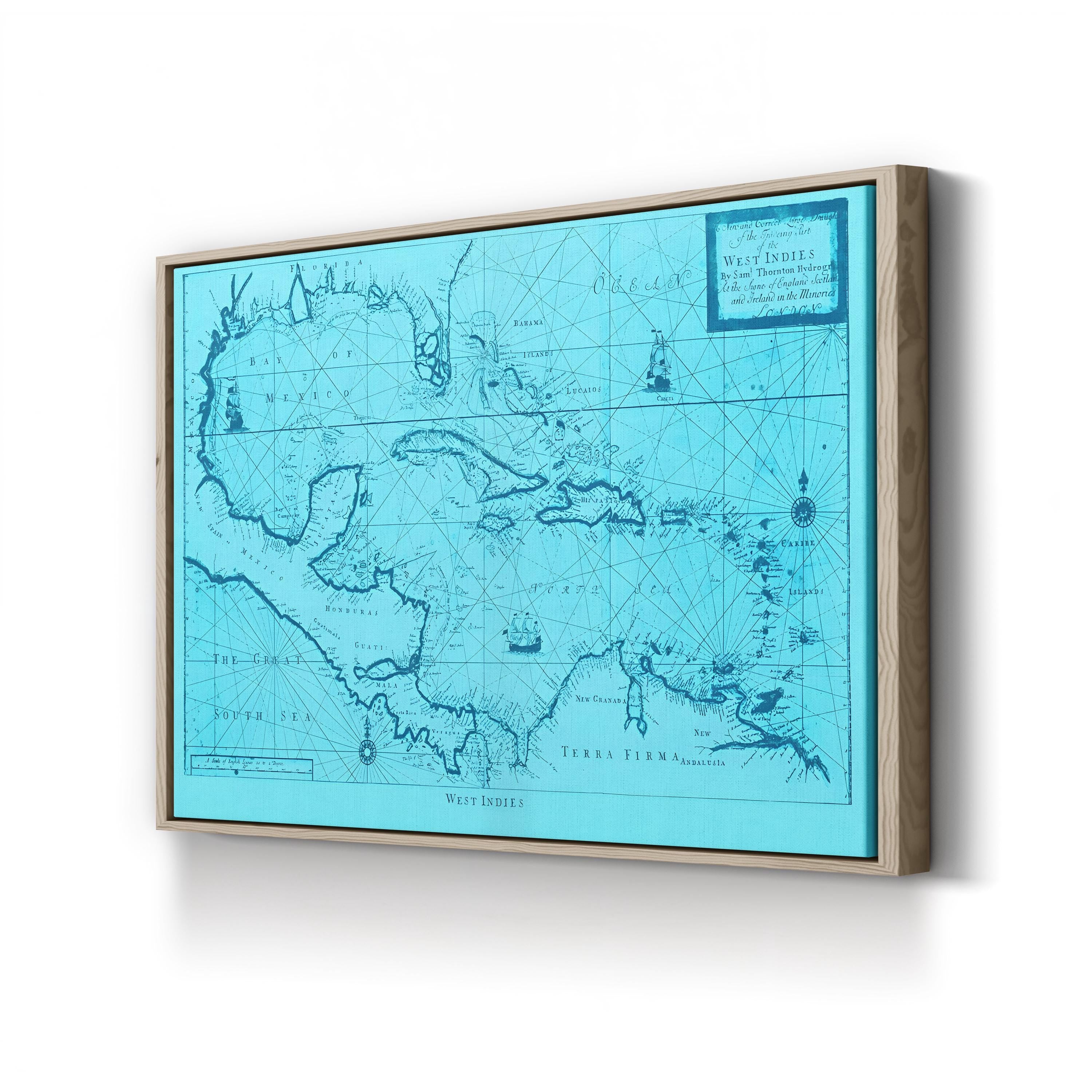
Blue West Indies Nautical Chart, by Samuel Thornton presents an early eighteenth-century-style sea chart of the Caribbean, with the Bay of Mexico, Florida and the Bahamas, Cuba, and the arc of West Indian islands running down to Terra Firma, crossed by rhumb lines, compass roses, and small sailing ships. The title cartouche reads “A New and Correct Large Draught of the Tradeing Part of the West Indies, By Saml Thornton, Hydrographer, at the Signe of England Scotland and Ireland in the Minories, London,” naming the London chart-maker whose West Indies chart appeared in The English Pilot, Fourth Book. This edition is color-graded in cool aqua-blue tones with deep blue linework.
Artist: Samuel Thornton, London hydrographer and chart publisher. Date: early 18th century.
Blue West Indies Nautical Chart by Samuel Thornton. Historic Caribbean Cartography Canvas Print.