





Le Canvas Atelier
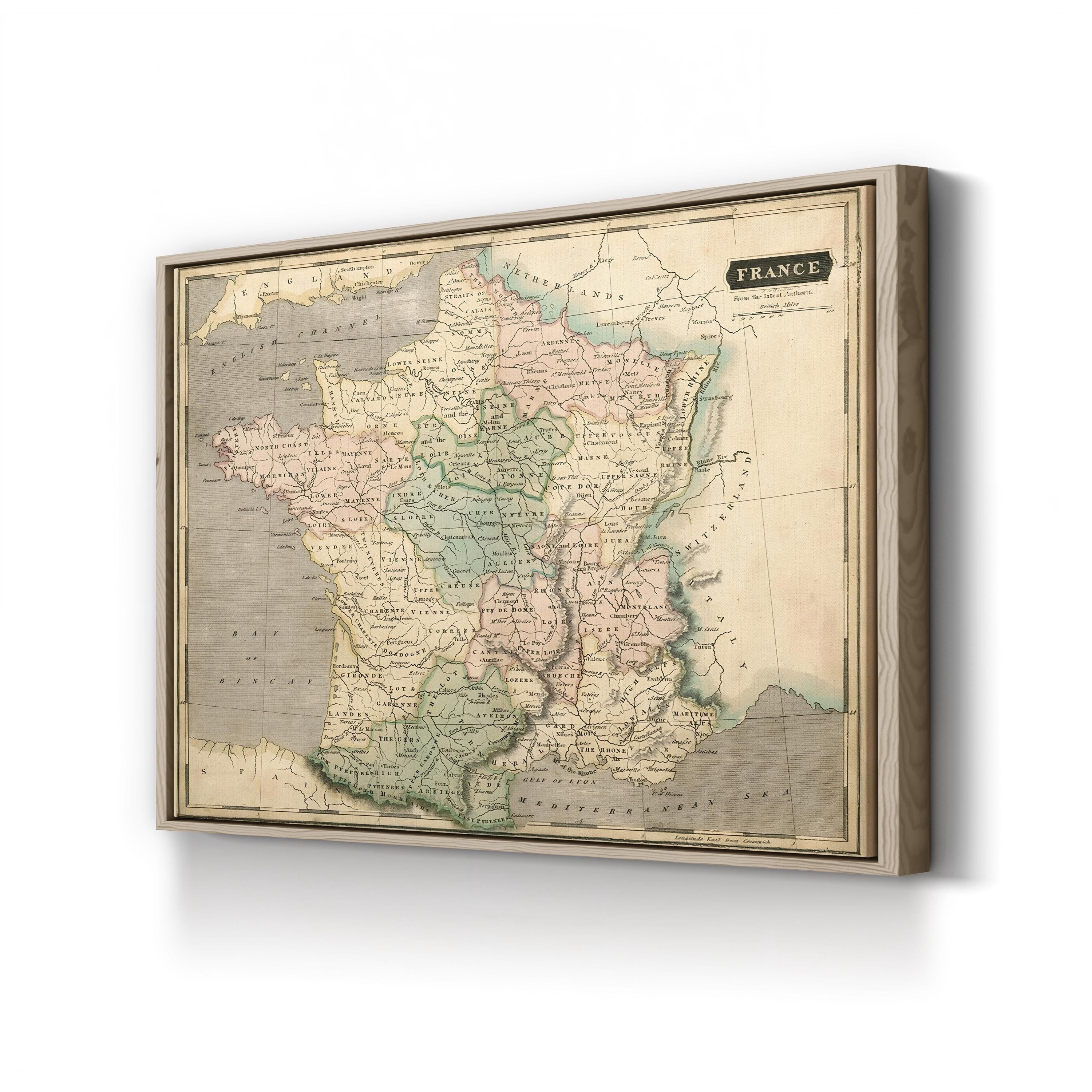
Thomson Map of France, c. 1814 by John Thomson
Frame Style:Gallery Canvas 1.50"
Size:12x9"
Choose options
Frame Style:Gallery Canvas 1.50"
Size:12x9"
Frame Style:Gallery Canvas 1.50"
Size:12x9"
Thomson Map of France, c. 1814 by John Thomson charts the provinces, rivers, and principal cities of France in fine engraved detail, with hand-tinted regional boundaries typical of the period's finest atlas work. The plate was engraved for Thomson's New General Atlas, the ambitious multi-volume work that established its Edinburgh publisher as one of the foremost cartographers of the early nineteenth century.
Artist: John Thomson (Scottish, 1777-1841). Date: c. 1814.
Thomson Map of France, c. 1814 by John Thomson. Historic French Cartography Canvas Print.