


Le Canvas Atelier
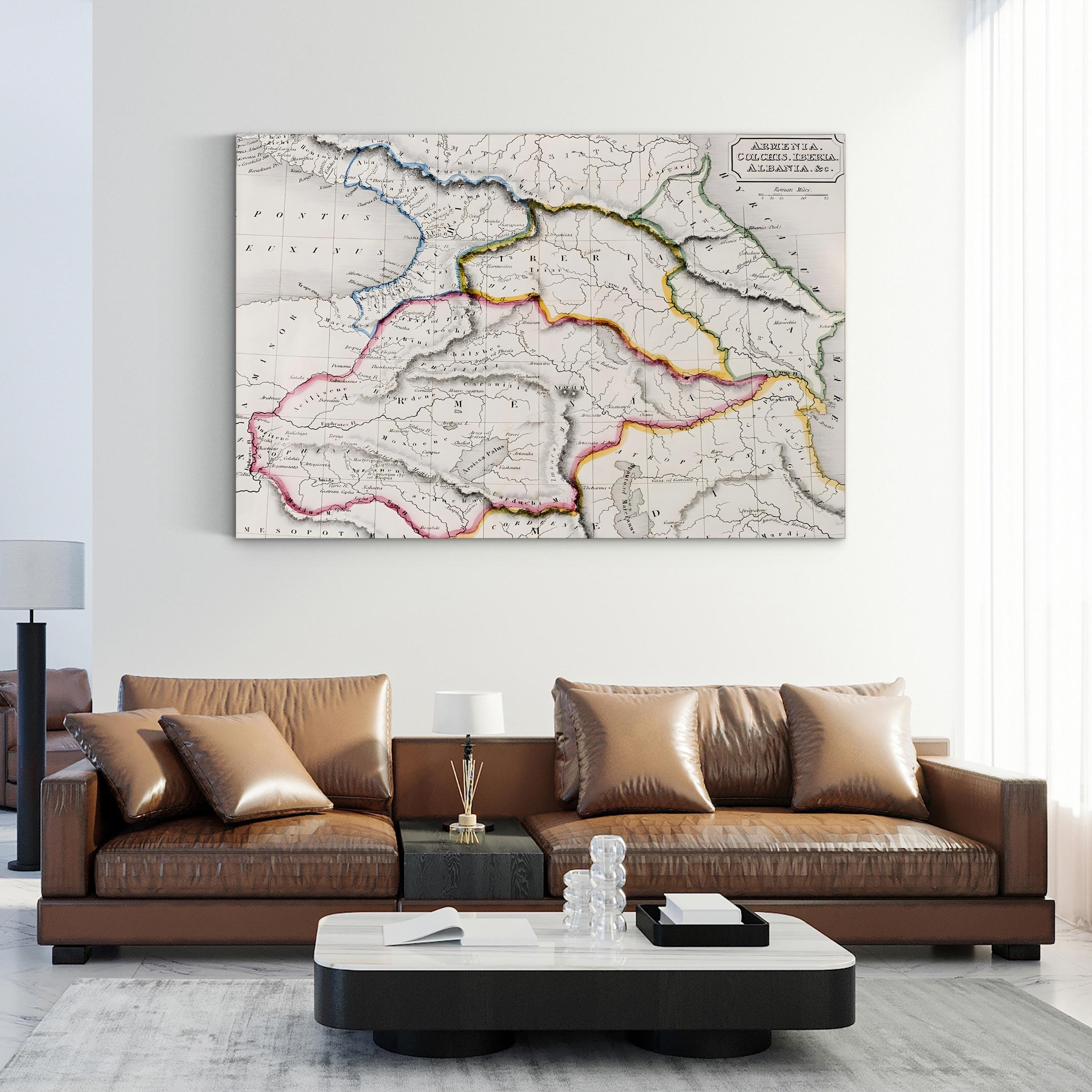
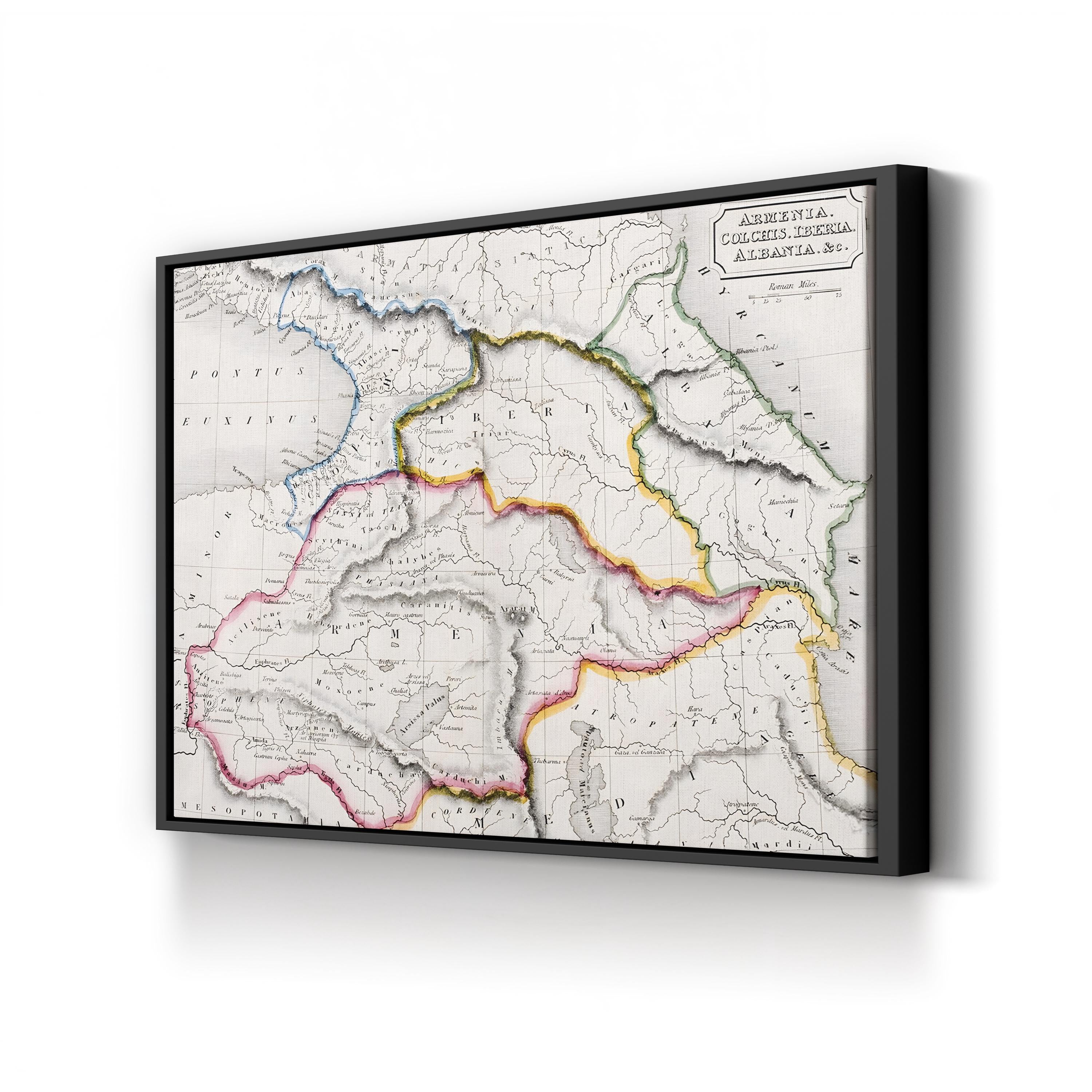
Map of Armenia, Colchis & Iberia – Period Illustration Wall Art | Antique Cartography Canvas Print
Size:12x9"
Frame Style:Standard 0.75"
Choose options
Size:12x9"
Frame Style:Standard 0.75"
Size:12x9"
Frame Style:Standard 0.75"
This Vintage Map of Armenia, Colchis, Iberia, and Albania is reproduced from an 1829 plate in Samuel Butler’s “Atlas of Ancient Geography.” Featuring hand-colored boundaries, engraved linework, and elegant antique detailing, the map beautifully illustrates regions of the ancient Near East with scholarly precision.