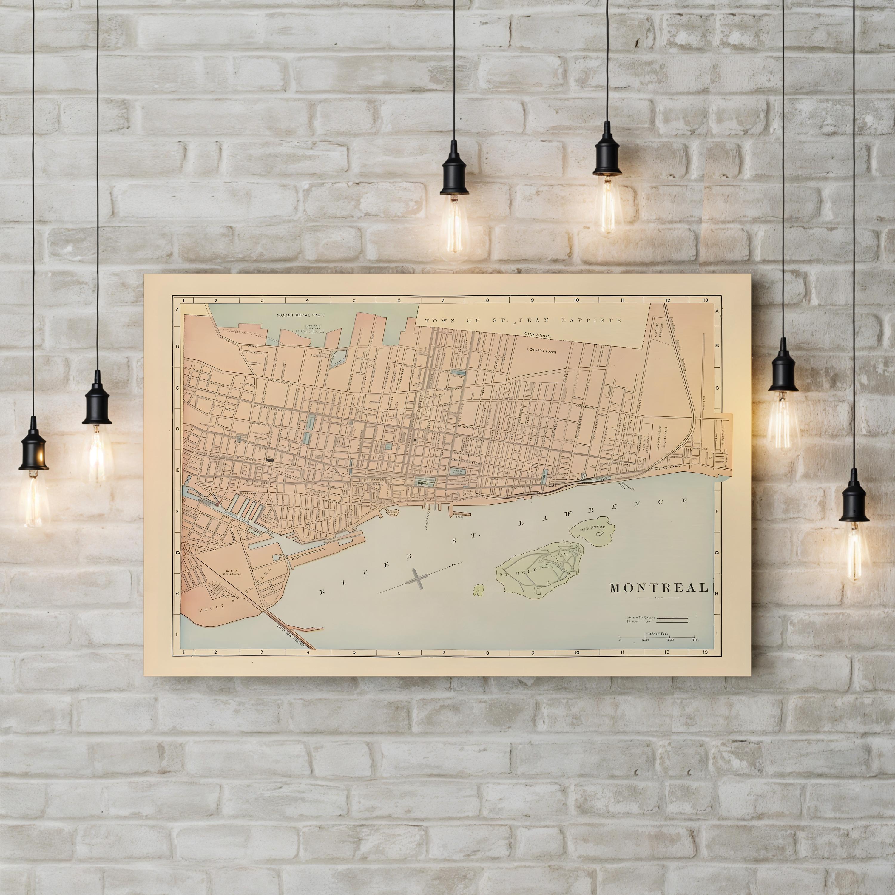

Vintage Montreal City Map, c. 1895 by Rand McNally and Company canvas print in a white frame
Vintage Montreal City Map, c. 1895 by Rand McNally and Company canvas print in an oak frame
Vintage Montreal City Map, c. 1895 by Rand McNally and Company canvas print displayed on a brick wall
Vintage Montreal City Map, c. 1895 by Rand McNally and Company canvas print displayed in a modern living room
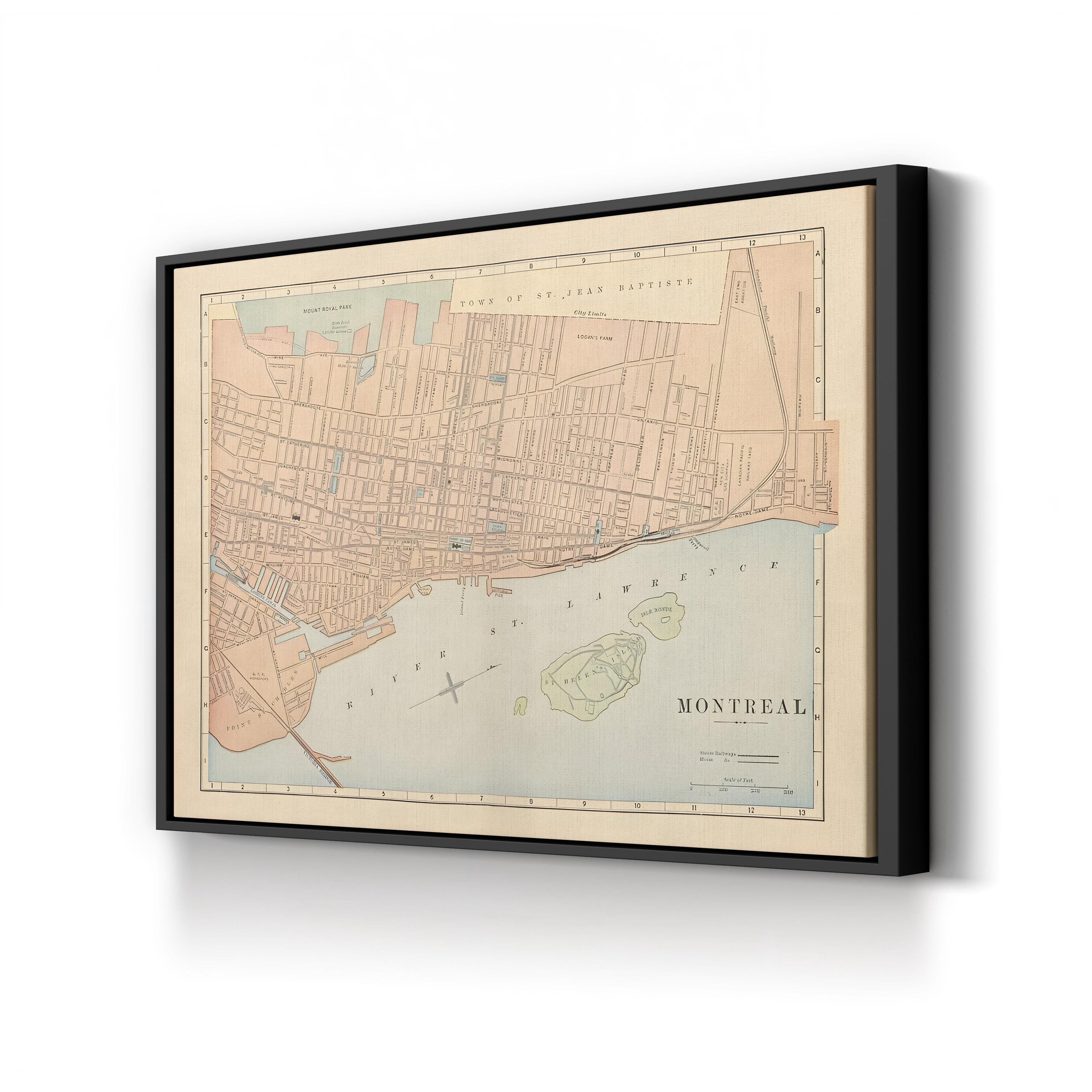
Vintage Montreal City Map, c. 1895 by Rand McNally and Company canvas print in a black frame
Vintage Montreal City Map, c. 1895 by Rand McNally and Company canvas print in a gold frame
Vintage Montreal City Map, c. 1895 by Rand McNally and Company canvas print in a natural wood frame
Frame style options for Vintage Montreal City Map, c. 1895 by Rand McNally and Company canvas print
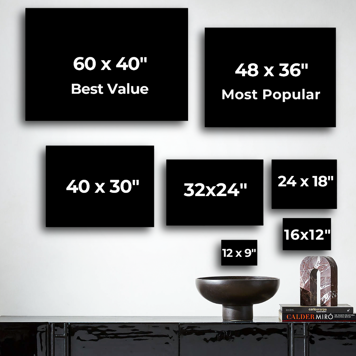
Canvas sizes available for Vintage Montreal City Map, c. 1895 by Rand McNally and Company

Le Canvas Atelier

ヴィンテージ モントリオール市街地図、1895年頃、ランド・マクナリー社

セール価格$39.99 USD
フレーム形式:標準 0.75"
サイズ:12×9インチ

Rand McNally and Companyによる1895年頃のヴィンテージ・モントリオール市街地図は、19世紀末のモントリオールの街並み、各地区、ウォーターフロントの姿を捉えています。ローヤル山公園やサン・ジャン・バティスト・タウンから、セント・チャールズ・ポイントの埠頭、セントローレンス川の島々まで描かれています。Rand McNally and Companyは、アメリカ屈指の商業地図出版社として名声を築き、この地図には、同社の地図帳を当時の正確さと明瞭さの基準とした、緻密な街路レベルの詳細描写とグリッド参照が反映されています。

制作者:Rand McNally and Company(1856年設立のアメリカの出版社)。制作年:1895年頃。

Rand McNally and Companyによる1895年頃のヴィンテージ・モントリオール市街地図。歴史的なカナダ地図のキャンバスプリント。