
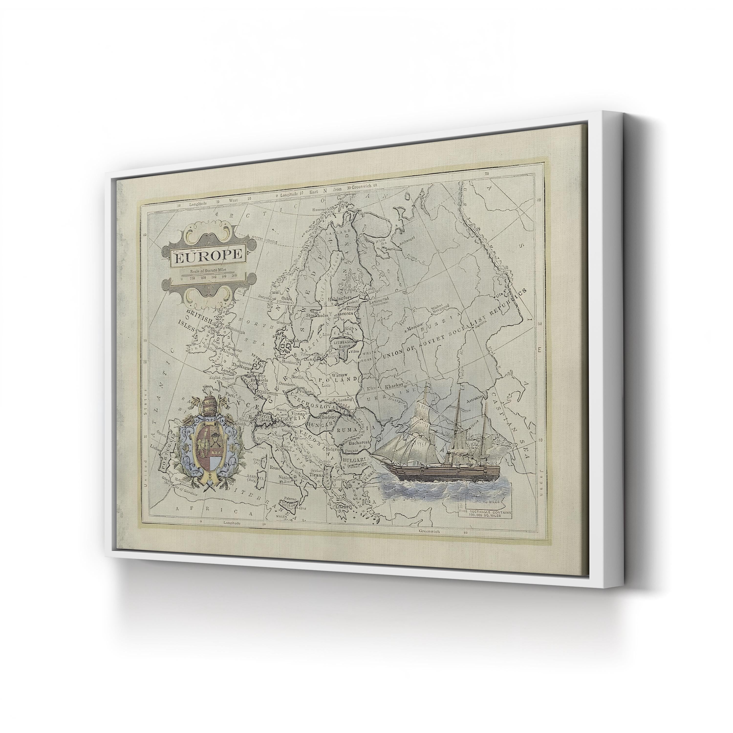

Historical Map of Europe canvas print in a gold frame
Historical Map of Europe canvas print in Oak Framed Canvas
Historical Map of Europe canvas print displayed on a brick wall
Historical Map of Europe canvas print displayed in a dark modern room
Historical Map of Europe canvas print in Black Framed Canvas
Historical Map of Europe canvas print in a white frame
Historical Map of Europe canvas print in a natural wood frame
Frame style options for Historical Map of Europe canvas print
Canvas sizes available for Historical Map of Europe

Le Canvas Atelier

ヨーロッパの歴史地図

セール価格$39.99 USD 通常価格$99.98 USD
60%節約する
フレーム形式:標準 0.75"
サイズ:12×9インチ

ヨーロッパの歴史地図は、20世紀半ばのアトラスに描かれた姿のヨーロッパ大陸を映し出し、その国境は西のブリテン諸島やスカンジナビアから東のソビエト社会主義共和国連邦まで広がっています。チェコスロバキア、ポーランド、ハンガリー、ルーマニア、ユーゴスラビア、ブルガリアなどの国々が画面全体に記され、装飾的なタイトルカルトゥーシュ、華麗な紋章、そして地図の縮尺図の傍らに描かれた帆船のヴィネットによって縁取られています。

ヨーロッパの歴史地図。ヴィンテージのヨーロッパ地図のキャンバスプリント。